
After landing at San Francisco International Airport and before arriving at the hotel in Palo Alto, I decided to see around San Francisco. The first transportation I used after leaving airport was their subway system called BART (Bay Area Rapid Transit):

It was not as crowded as subway systems in big cities like Seoul. I used Google Maps to get to the destination, Golden Gate Bridge. Google Maps showed that I needed to get off BART at “Civic Center” station and take bus from there. Instead of just blindly following its directions, I decided to take a walk and look around that area:

Tram and trolley-bus:

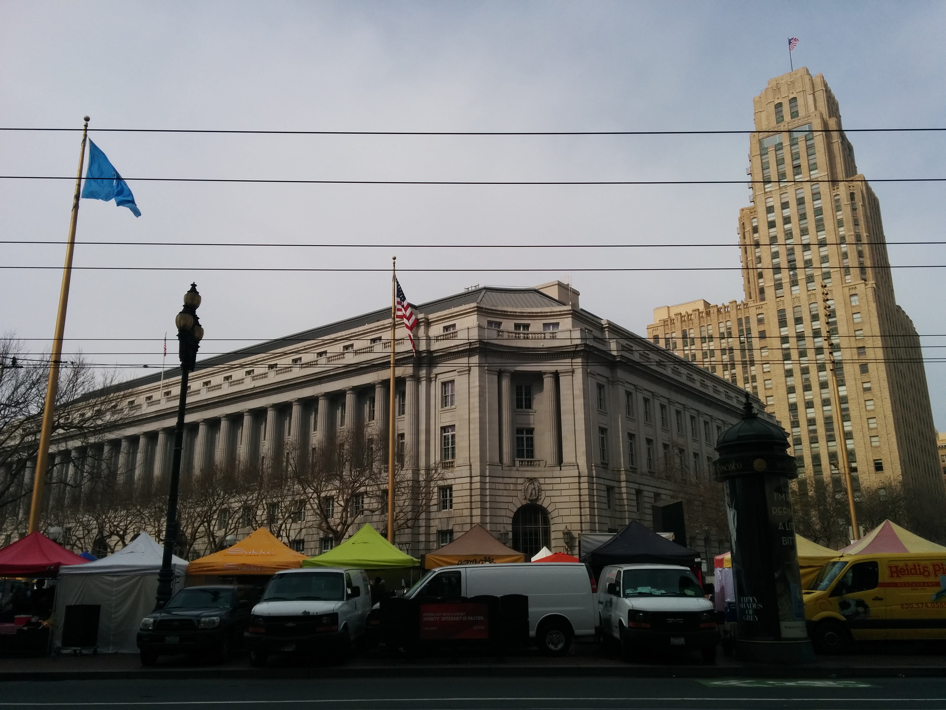
UN Plaza building:
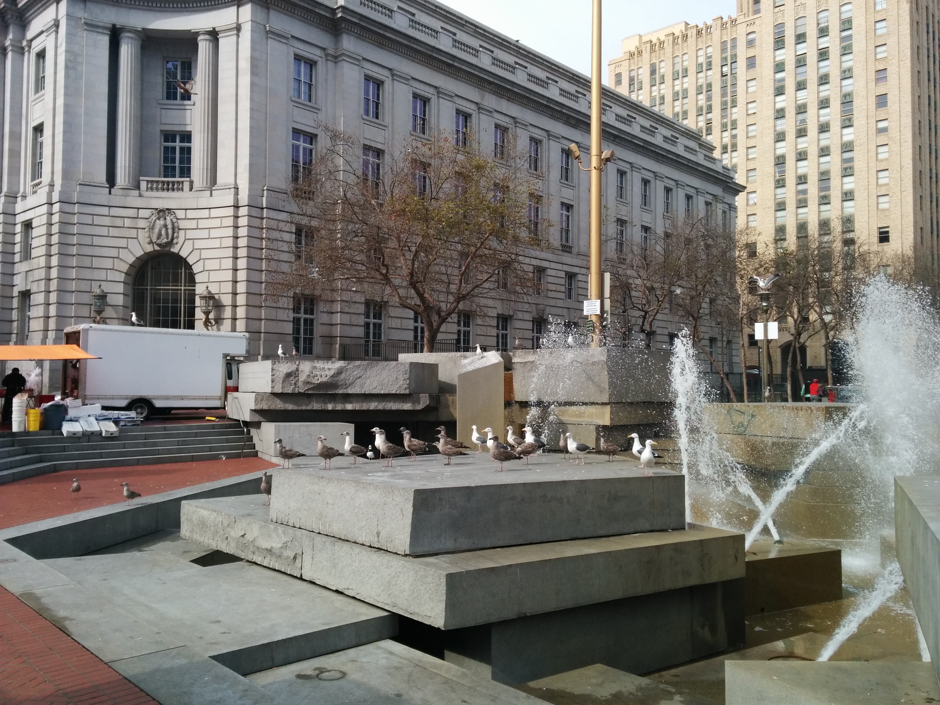
Lots of birds near the fountain of UN Plaza:
 I walked through Market Street and saw some monuments on the way:

And I reached San Francisco City Hall, which was under construction at that time:

The dome of City Hall building reminded me the architectural style of Thailand:

After walking around this area, I resumed my trip to the destination, Golden Gate Bridge. First I checked the bus that goes to the destination through Google Maps, and waited for that bus. After around 20 minutes of waiting, I gave up and decided to take a cab instead. At that time I thought of giving a try to the new advanced taxi system that I had heard before, but never used yet – Uber. I found using Uber super-convenient. After choosing destination in Google Maps, one needs to press only ‘request Uber’ button, and one of nearest Uber-registered drivers pick you up. For the rest of my California trip, I used Uber many times. I liked the automatic charging system, i.e. while you get off there is no physical money transaction. Moreover, Uber is generally cheaper than normal cabs due to economics of scale.
Finally I reached the hallmark of San Francisco – Golden Gate Bridge. It was a cloudy day so the top of second column of the bridge was barely visible:


Sample cut of main cable holding the bridge:

There was a specially designed place for taking shots with the bridge background. I could not pass by not doing so 🙂

If we turn right, we can see some small island and it is the famous island-prison “Alcatraz” where Al Capone was held. Now it is used as museum:

It was lunch time when I was done seeing around the bridge, and I looked a place to eat. Google Maps showed zero restaurants in the walking distance, so I took a bus to go to farther one. When I was getting off, I was handing 10$ bill (bus fare was around 2$) to the bus driver. Driver said that he does not have changes, and I told that I don’t have bills with smaller value. Then he said it’s OK, and as a result I took bus for free 🙂
I arrived at some small neighborhood:

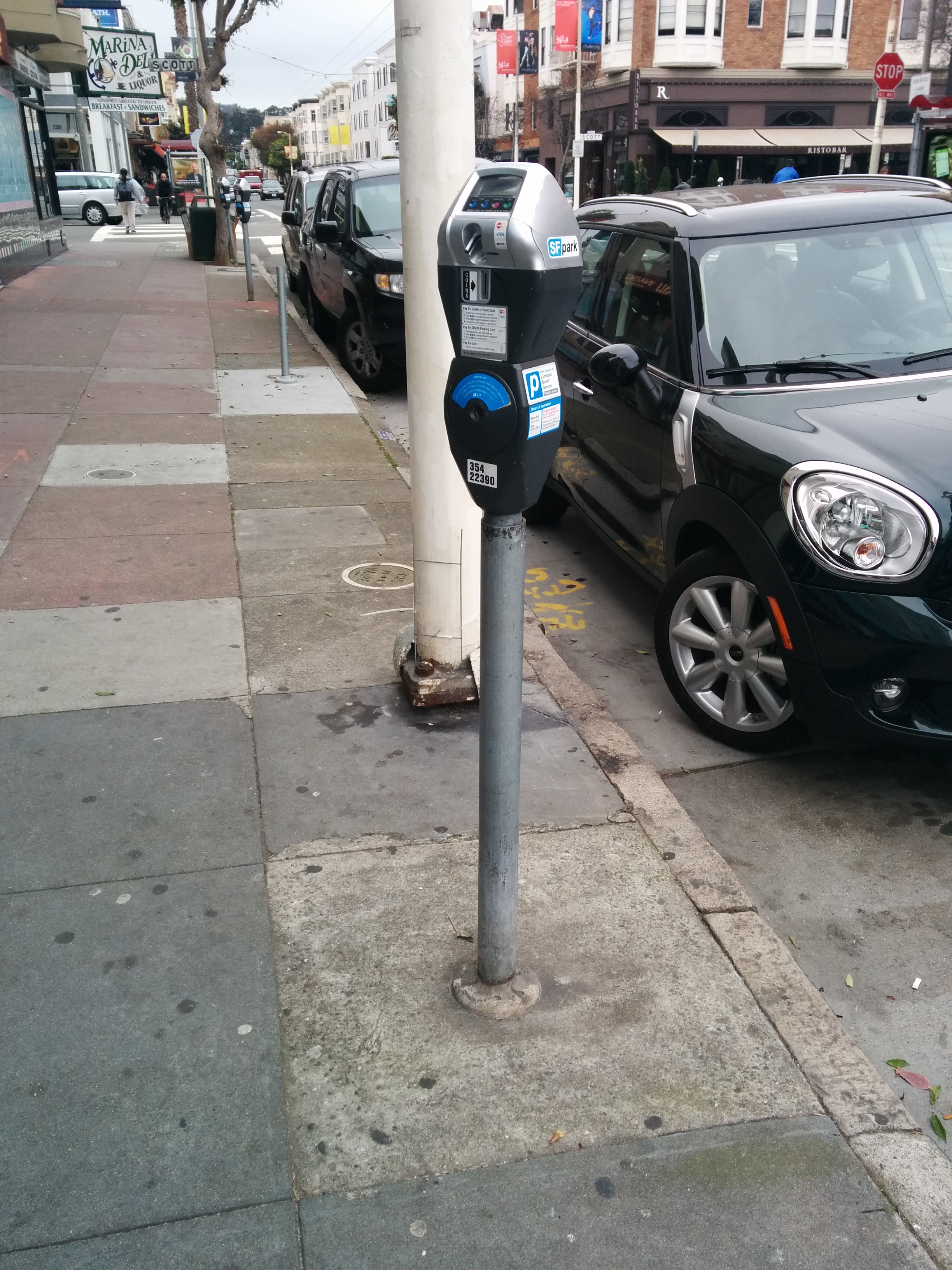
Automatic payment system for parking:
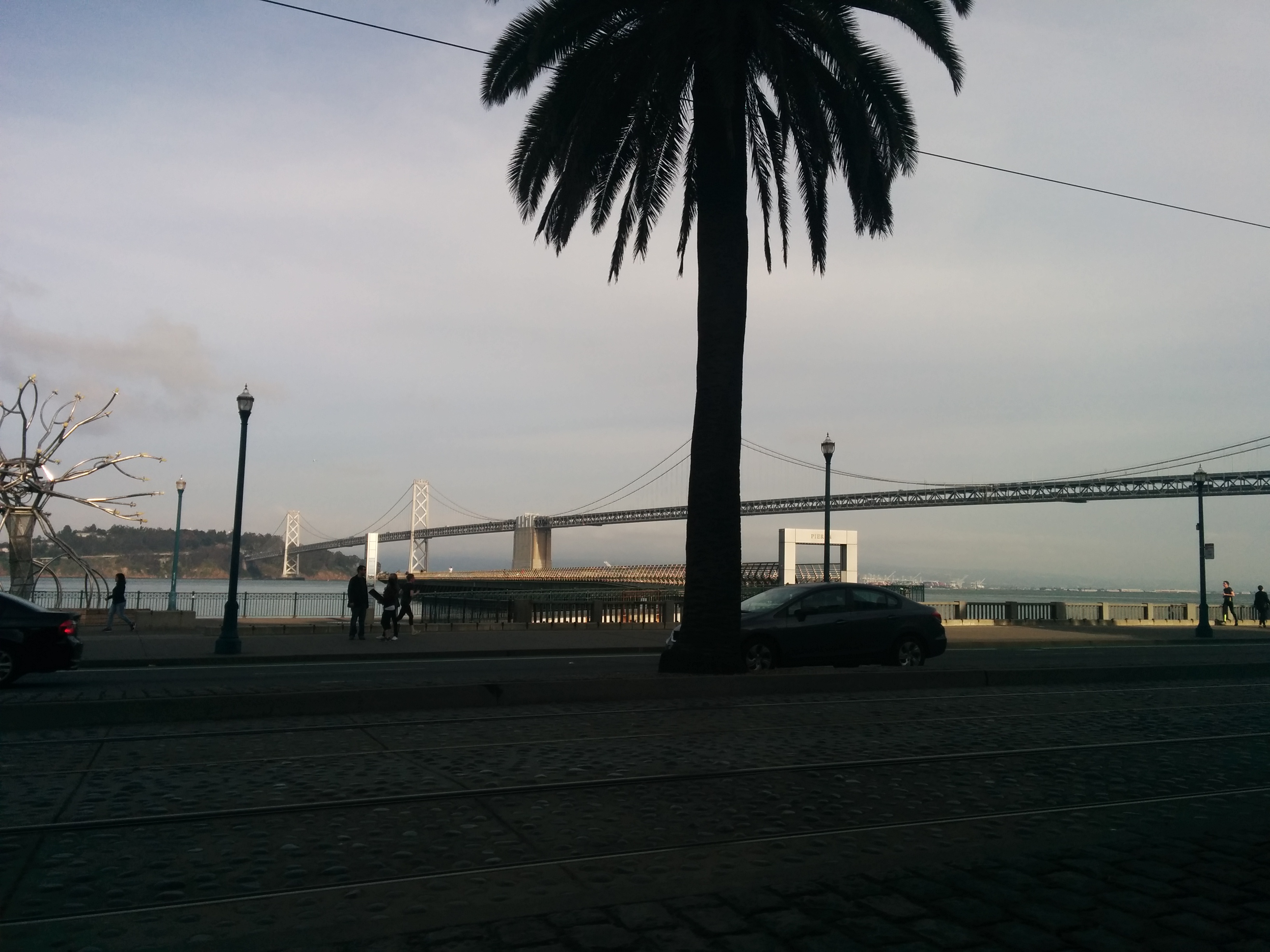
On the way to Caltrain Station I saw another bridge – Bay Bridge that connects San Francisco with Oakland:
One of ways to get to Palo Alto was to take Caltrain. Caltrain is a commuter train that connects San Francisco with San Jose, and stops at many small cities in the Silicon Valley. Train cars have two floors:

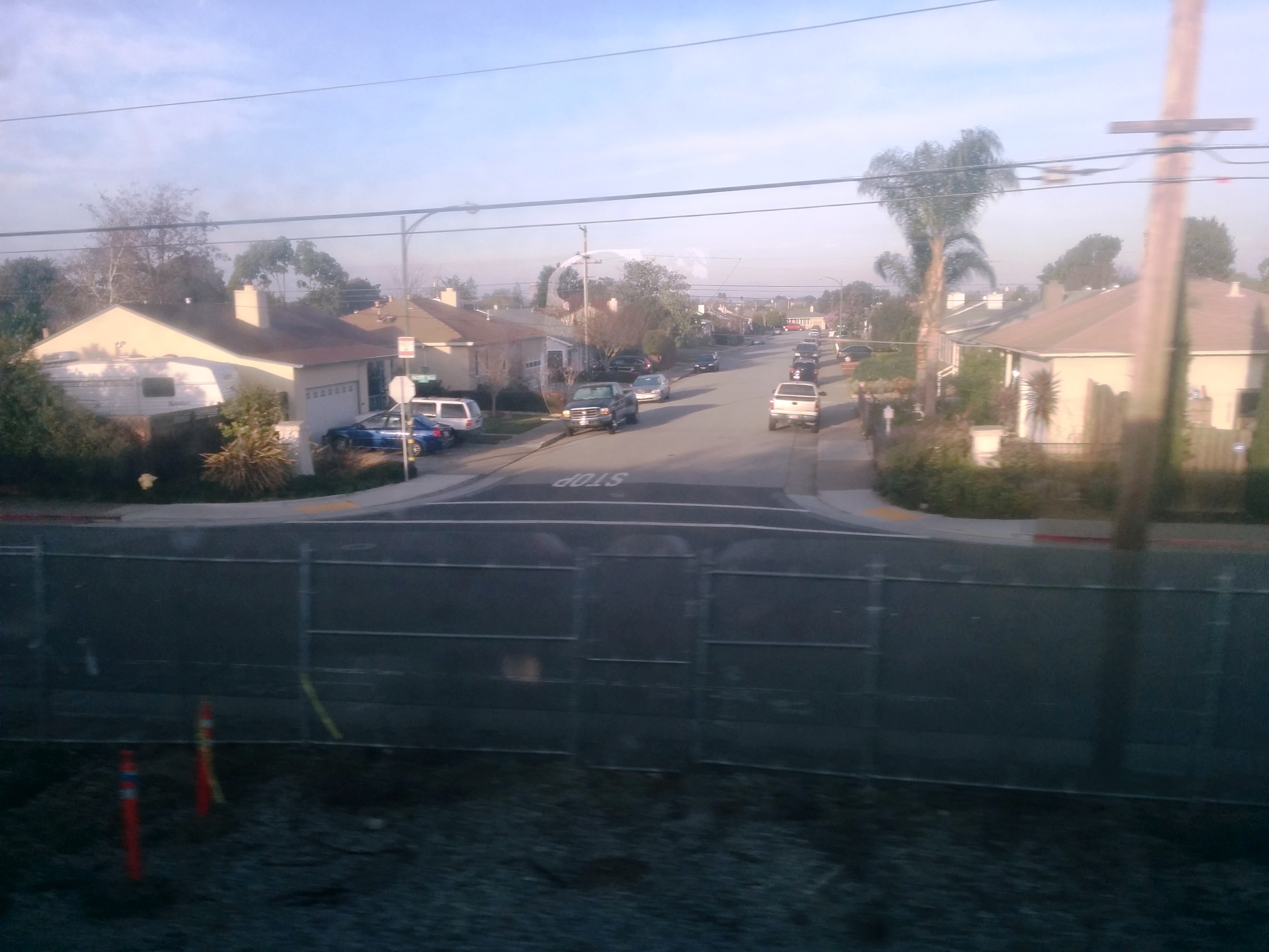
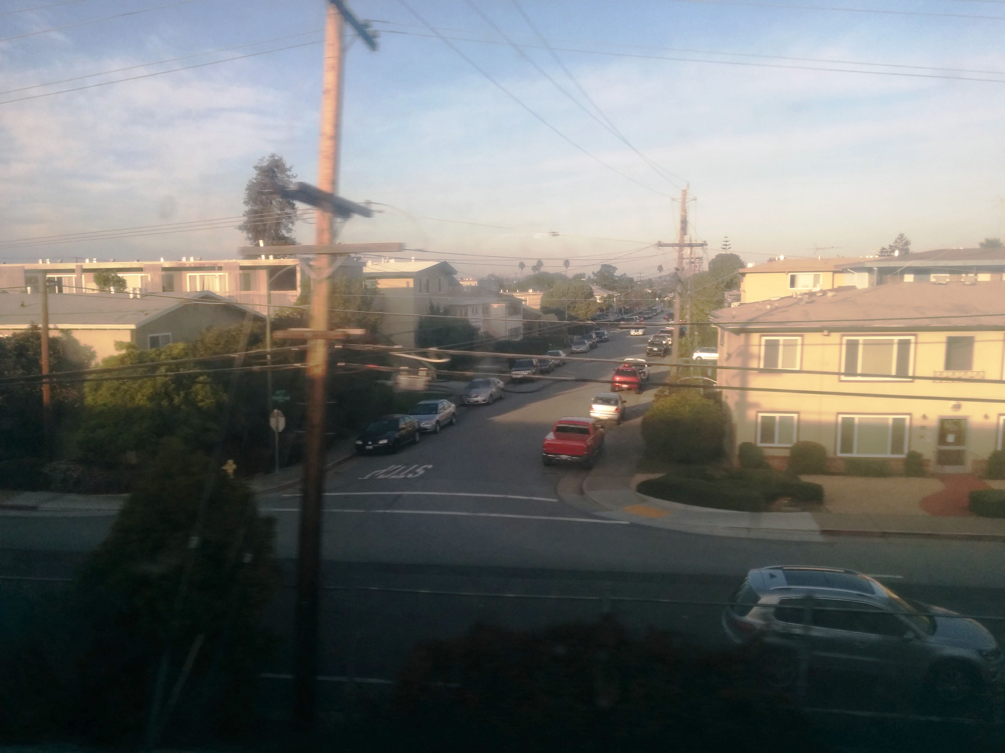
On the way to Palo Alto I could see typical streets that we could usually see in the American movies:
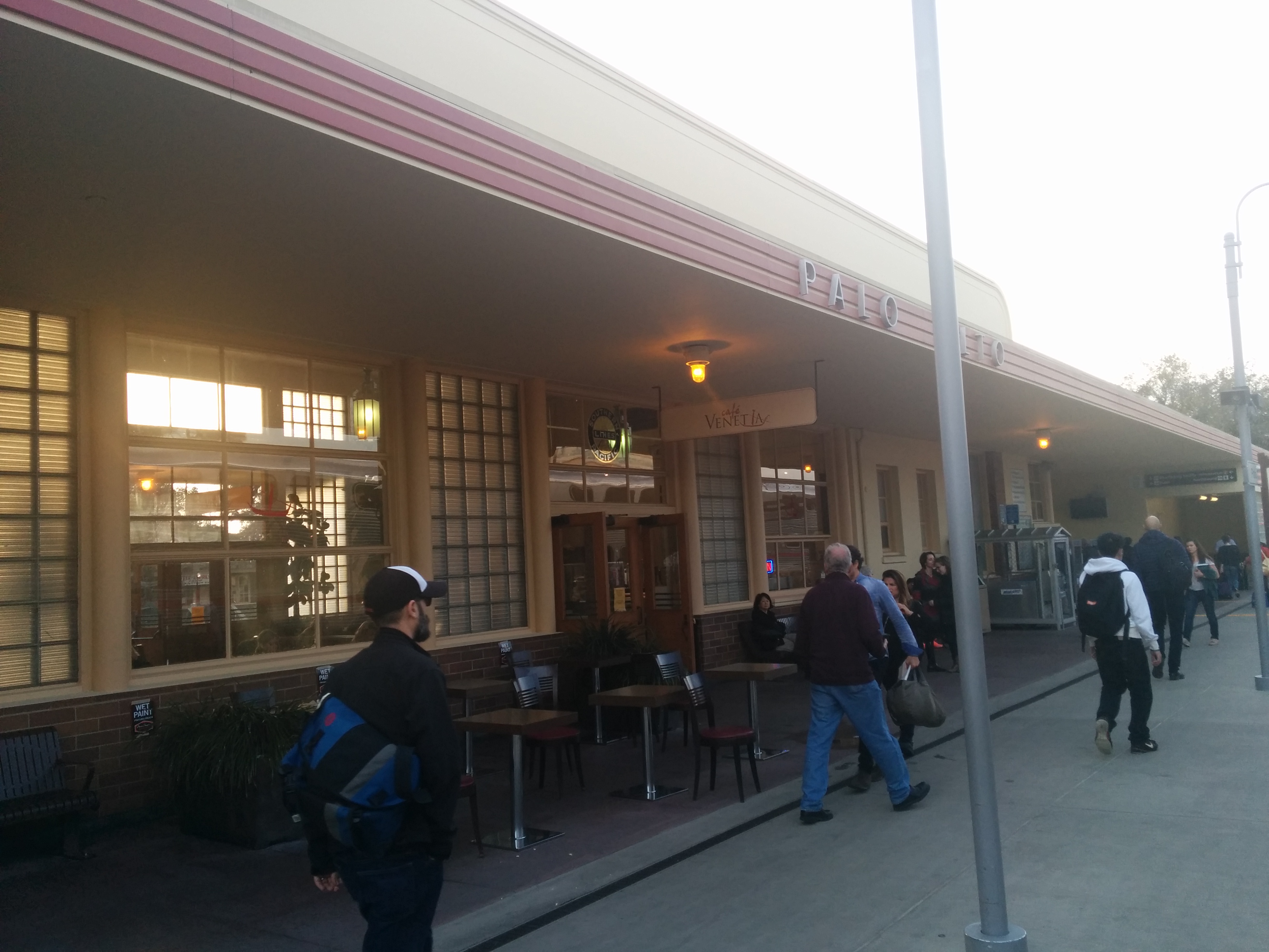
And at last, I arrived at Palo Alto Station:
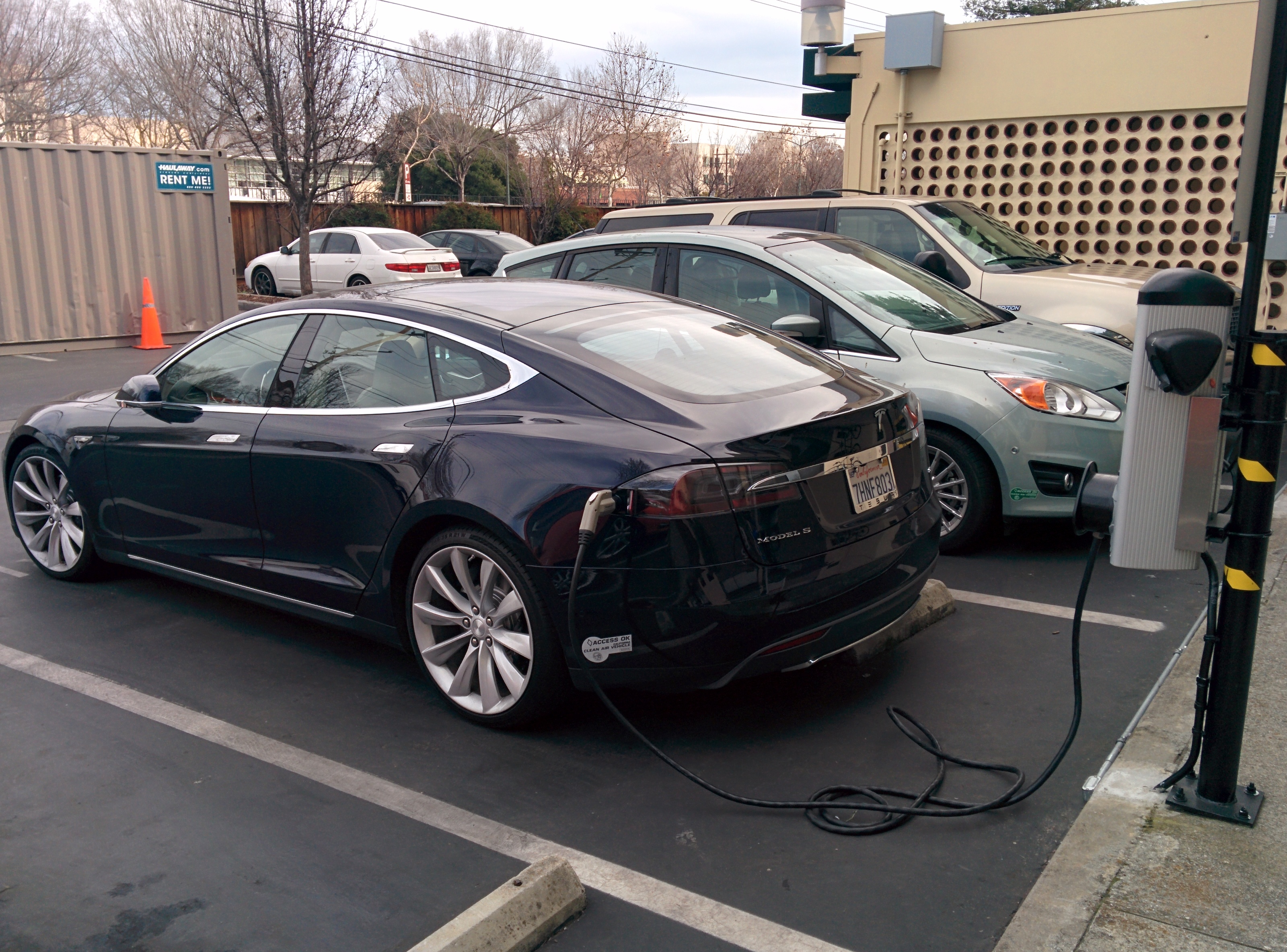
One of the specifics in California that I noticed was that there were many electric cars and there are dedicated space for such cars in many parking spots. Those spots have charging stations. It is mind blowing how charging facility of electric cars takes such a small space compared gas stations.

A few days later I visited San Francisco again to see my friend who works there. Here is the downtown of San Francisco at night:

It was surprising that this type of transportation, called Cable car, still functions in the city. They keep it for its historical value despite being quite inefficient in terms of energy consumption:
 And here is how it changes the lines when it reaches the final stop:
I found San Francisco definitely worth place to visit if you happen to come to California.
